Search
You've added your first Trip Builder item! Keep track of your trip itinerary here.
ENews
GET UPDATES AND SPECIAL OFFERS
Booking
 
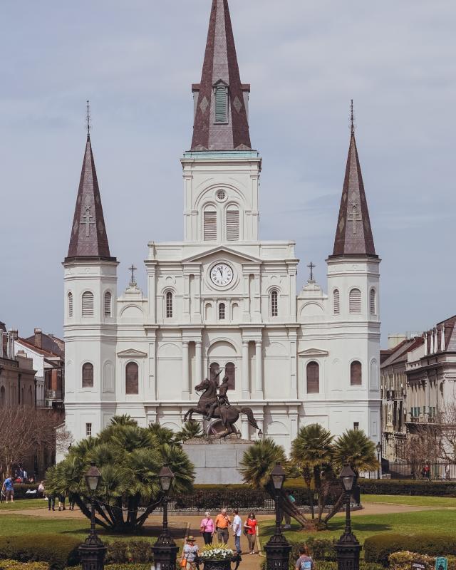
Jackson Square - St. Louis Cathedral - Springtime - French Quarter
x

Emergency Crisis Management Plan

Overview

The safety of employees, visitors, customers, and meeting attendees is paramount, especially in the event of hurricanes and natural disasters. New Orleans & Company has extensive experience in managing such situations and we will be with you every step of the way before, during and after any weather event to keep you and your stakeholders informed and safe. We follow a detailed crisis plan developed and tested multiple times over the past 20 years.

New Orleans & Company collaborates closely with officials from the City of New Orleans and the State of Louisiana. Over the past two decades, nearly $15 billion has been invested in upgrading the levee system and flood protection to withstand a 100-year storm. Entergy New Orleans has also invested over $35 million since 2019 to strengthen and upgrade the power delivery system, enhancing grid reliability against frequent and intense weather events.

The crisis communications plan ensures direct contact with local and state partners, providing consistent and timely updates for leadership, stakeholders, attendees, and exhibitors. Emergency plans should be requested from each contracted vendor and hospitality partner to ensure a cohesive strategy. New Orleans & Company will maintain constant communication and provide updated details throughout the process.

Communication Plan

During an emergency, New Orleans & Company’s Executive Team and Communications Department will establish round-the-clock communication with city and state officials, as well as the airport, hotels, convention venues, restaurants, and attractions. Convention Sales and Services sales leaders will maintain contact to provide the latest information and assist in disseminating updates to audiences, ensuring a smooth transition through each phase of the emergency plan.

NewOrleans.com & New Orleans & Company Daily Updates

When New Orleans is threatened by an approaching storm, New Orleans & Company participates in daily 9 am briefing meetings with the New Orleans Homeland Security and Emergency Preparedness (NOHSEP) and all City of New Orleans agencies for the most up-to-date information.

City messaging and timely updates will be shared via this page with resources and specific information on the current emergency situation, including updated statements from New Orleans & Company. The website will be updated multiple times a day as needed, and a banner at the top of the homepage will direct visitors to these updates.

Regular updates will be provided via email to member businesses to ensure consistent messaging. Updates will also be shared on social media platforms. Follow New Orleans & Company on Instagram, Facebook, and X for the latest information.

Citywide Texts

The City of New Orleans sends regular emergency alerts that can be received by texting “NOLAREADY” to 77295. For Spanish-speaking recipients, text “ESP” to 77295. This information is primarily directed to residents and homeowners and may not always apply to visitors or customers.

Impending Storm Projected to Impact New Orleans

If New Orleans is in the projected path of a storm, the path and strength of the storm will determine the City and State’s course of action. Each storm is different, and factors such as expected location of landfall and storm strength will determine if evacuation is necessary. The Convention Sales and Services team at New Orleans & Company will provide resources and answer any questions. 

Options for group departure include:

  1. Departing the city early using the same transportation used to arrive in New Orleans (flight from MSY, personal vehicle, etc.). Travelers should contact their airline to rebook an earlier flight.
  2. If the storm will impact the city but is not strong enough to warrant evacuation, residents and visitors remaining will be required to shelter in place. Hotels have a plan if power is lost. The team will coordinate with group leaders and host hotels to ensure everyone is taken care of.
  3. City Assisted Evacuation (CAE) for Hurricanes:
    1. If evacuation is required or recommended, the Convention Services representative will confirm plans and assist as needed.
    2. Activation of City Assisted Evacuation constitutes a mandatory evacuation for hotels.
    3. Most visitors and tourists should be able to evacuate themselves using the same transportation used to arrive (flights from MSY, personal vehicle, etc.).
    4. For visitors with verified flights out of New Orleans, shuttle service to the airport will be available at Hotel Staging Centers outside Caesars New Orleans Hotel & Casino, 8 Canal Street, and the Sheraton New Orleans Hotel, 500 Canal Street. This coordinated effort, involving New Orleans & Company and the Greater New Orleans Hotel & Lodging Association, usually begins 2-3 days before the storm's effects reach New Orleans. The team will provide specific details if this becomes necessary.

For Reference: Hurricane Season Information and Key Terms 

Hurricane Season: June 1- November 30

Dangers from these storms include high winds, heavy rain, tornadoes, flooding, and power outages. Tropical weather begins with a low-pressure area of circulating winds over water. The most active months are usually August and September.

A system can develop into a:

  1. Tropical Depression: winds of 38 miles per hour (mph) or less.
  2. Tropical Storm: winds between 39 and 73 mph.
  3. Hurricane: winds of 74 mph or more.

Hurricanes are categorized 1 through 5 based on wind speed. Category 3-5 hurricanes are considered major hurricanes.

  1. Category 1: 74-95 mph
  2. Category 2: 96-110 mph
  3. Category 3: 111-129 mph
  4. Category 4: 130-156 mph
  5. Category 5: 157+ mph

Track Forecast Cone

The forecast cone visualizes the probable track of the storm's center and is often referred to as the Cone of Concern or the Cone of Uncertainty.
The size of the cone is based on the accuracy of the National Hurricane Center’s forecasts over the past 5 years. The center of the storm generally stays in the cone for 2 out of 3 forecasts. Hazards associated with a storm usually extend beyond the edge of the cone. Strong winds, storm surge, heavy rain, and tornadoes are still possible outside of the cone, so it’s important to listen to the local emergency management agency.

The cone shows where the center may go, how big the storm is at that moment, and current coastal wind watches and warnings.

Example Hurricane Map

(This Does Not Portray an Active Hurricane)
Hurricane Francine Forecast Cone

Recap of Steps to Take

New Orleans & Company is prepared to guide you through each step if a storm threatens the area. Follow NOLA Ready and neworleans.com/updates for the latest information, contact the sales and services manager with questions, and know that support is available every step of the way with constant communication and updated details. 


MAKE A PLAN

Media Inquiries: